Shergadh શેરગઢ
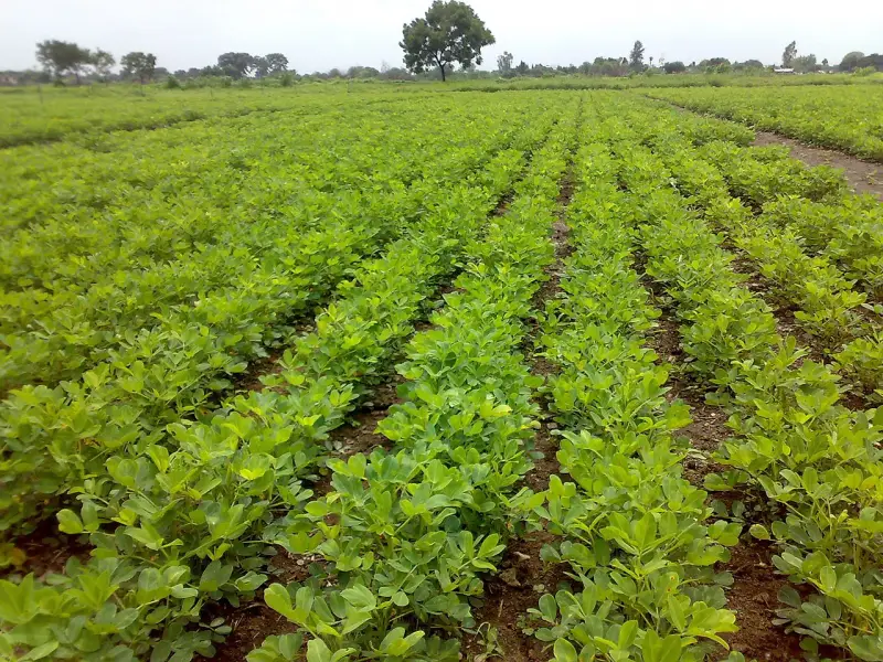
Shergadh is a village in Keshod taluka of Junagadh district in the Saurashtra region of Gujarat, India. It lies about 15.9 km by road to the south-east of Keshod town (around 16 min by car). The main occupations of the people are farm labour, farming and animal husbandry. Major crops grown here include wheat, cumin, groundnut, sesame, bajra (pearl millet), chickpea (gram), cotton, castor and lucerne (fodder). The village has a primary school, a panchayat office, an anganwadi and a milk dairy. Its PIN code is 362245.
Village facts
- Taluka
- Keshod
- District
- Junagadh, Gujarat
- from Keshod (by road)
- 15.9 km · 16 min drive
- straight-line
- 11.4 km
- Direction
- South-east from Keshod
- PIN code
- 362245
- Main occupations
- Farm labour, Farming and Animal husbandry
- Main crops
- Wheat, Cumin, Groundnut, Sesame, Bajra (pearl millet), Chickpea (gram), Cotton, Castor and Lucerne (fodder)
- Facilities
- Primary school, Panchayat office, Anganwadi and Milk dairy
- Coordinates
- 21.2363, 70.3371
Map
Weather in Shergadh
Loading…
Nearby villages
See all →Places to visit nearby
See all →

Data sources: Source: Wikipedia (CC BY-SA 4.0) · Wikidata · OpenStreetMap · OSRM