Ghed Region
The low-lying Ghed region between Keshod, Mangrol and Porbandar is known for monsoon flooding from the Ojat and other rivers; its alluvial soil is very fertile. Villages such as Balagam, Khirsara, Khamidana and Padodar lie in Ghed.
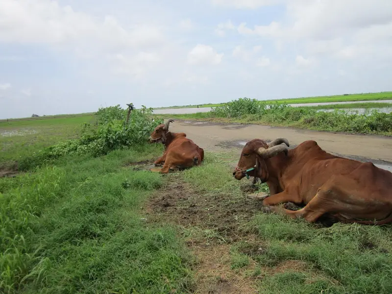
About
- Type
- Nature
- from Keshod (by road)
- 14.4 km
- Time
- 13 min drive
- straight-line
- 9.5 km
- Direction
- North-west from Keshod
- Coordinates
- 21.3371, 70.1689
Map
Other places nearby
See all →Temple / pilgrimage
Dhuneshwar Bapa Temple, Isra
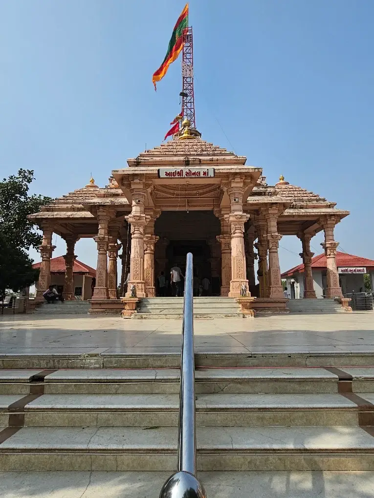
Temple / pilgrimage
Sonal Dham, Madhda
Temple / pilgrimage
Vasangdevi Temple, Balagam
Temple / pilgrimage
Dasaram Temple, Balagam
Temple / pilgrimage
Panchala Swaminarayan Temple
Temple / pilgrimage
Shri Ram Temple, Agatrai
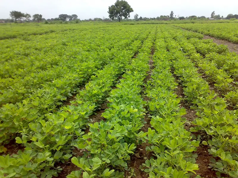 Representative photo
Landmark
Keshod Marketing Yard (APMC)
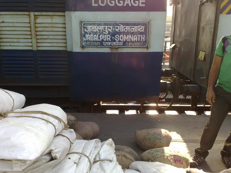 Representative photo
Transport
Keshod Railway Station
Weather in Ghed Region
Loading…